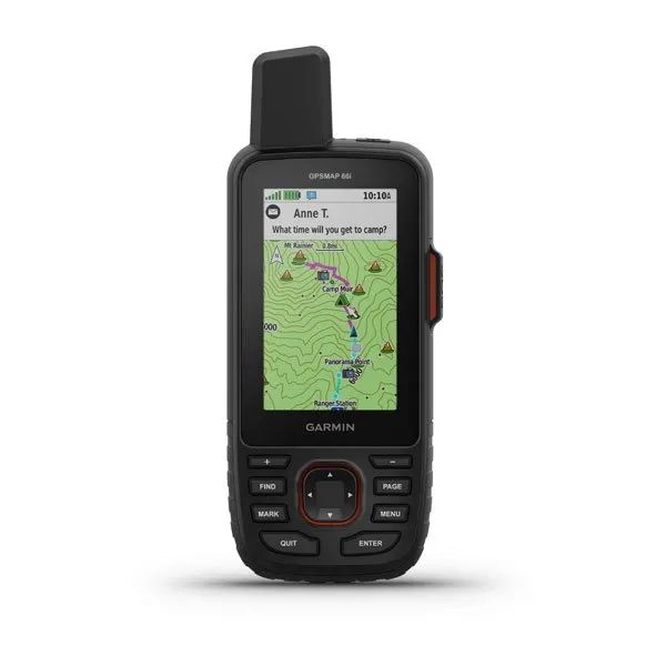
Garmin GPSMAP® 66i
$599.99
Availability:
Out of stock
SKU
126127
Garmin GPSMAP® 66i
GPS Handheld and Satellite Communicator
More Adventure. Less Worry.
Precise navigation meets global communication in the rugged GPSMAP 66i button-operated GPS handheld and satellite communicator1 featuring Garmin TopoActive mapping and inReach® technology.
Features
- one:
General Specifications:
- Dimension: 2.5” x 6.4” x 1.4” (6.2 x 16.3 x 3.5 cm)
- Display Size: 1.5"W x 2.5"H (3.8 x 6.3 cm); 3" diag (7.6 cm)
- Display Resolution: 240 x 400 pixels
- Display Type: transflective color TFT
- Weight: 8.1 oz (230 g) with batteries
- Waterproof: IPX7
- Battery Type: rechargeable, internal lithium-ion
- Battery Life:
- Up to 35 hours at 10-minute tracking
- Up to 200 hours at 30-minute tracking (power save mode)
- Mil-Std-810: yes (thermal, shock, water)
- Interface: high speed micro USB and NMEA 0183 compatible
- Memory/History: 16 GB (user space varies based on included mapping)
Maps & Memory
- Preloaded Maps: yes (TopoActive, routable)
- Ability To Add Maps: yes
- Basemap: yes
- Automatic Routing (Turn By Turn Routing On Roads) For Outdoor Activities: yes
- Map Segments: 15000
- Birdseye: yes (direct to device)
- Includes Detailed Hydrographic Features (Coastlines, Lake/River Shorelines, Wetlands And Perennial And Seasonal Streams): yes
- Includes Searchable Points Of Interests (Parks, Campgrounds, Scenic Lookouts And Picnic Sites): yes
- Displays National, State And Local Parks, Forests, And Wilderness Areas: yes
- External Memory Storage: yes (32 GB max microSD™ card)
- Waypoints/Favorites/Locations: 10000
- Tracks: 250
- Navigation Track Log: 20000 points, 250 saved gpx tracks, 300 saved fit activities
- Navigation Routes: 250, 250 points per route; 50 points auto routing
- Rinex Logging: Supported
Specifications subject to change
Write Your Own Review


